I don’t know if it’s because GeoPandas is poorly maintained or that most people can’t be bothered and simply use GiS software for this type of problem, but I couldn’t for the life of me create some simple informative maps in Python. After quite a bit of searching and many hours of trial and error, here’s a quick and easy way to create a Choropleth map with pretty much only Python knowledge.
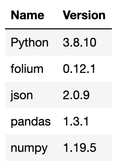
Quickly, here are the imports I’m running and the versions of each:
To create a useful Choropleth map, you’re likely going to need two datasets: a map (GeoJson, Shapefile, KML, etc.) and data you want to put on the map (Pandas DataFrame, series, etc.). Your map will, at some point, need to be converted into a GeoJSON file (which will later be turned into a JSON). Don’t worry if you don’t know anything about JSONs; they look and act like dictionaries.